13 October 2026
What is an ungauged basin? A working definition for planners
What makes a basin ungauged, why it happens, and how planners estimate flow and extent across reaches with no stream gauge.
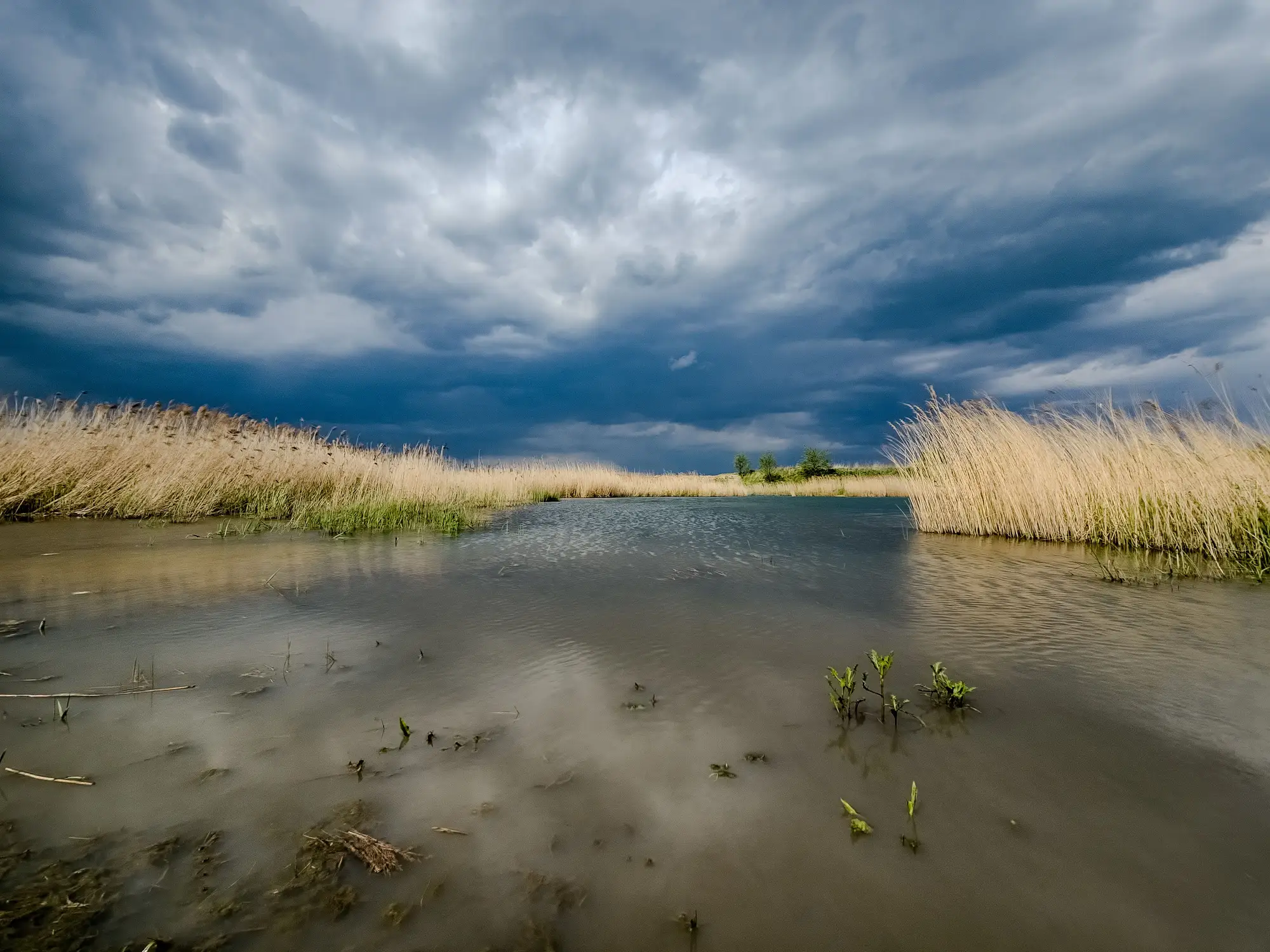
An ungauged basin is any catchment, or any reach within a catchment, where nobody is currently recording stage or discharge on the ground. That sounds like a small technical distinction until you're the one trying to brief a water allocation hearing on a tributary where the nearest working gauge is forty kilometers downstream and the last data point for the reach itself dates to a decommissioned station from the 1980s.
Most basins sit somewhere between fully gauged and fully ungauged, a patchwork of long-record stations and blank stretches. A trunk river might carry three or four long-record stations, each with decades of daily discharge, while the tributaries feeding it, the oxbow lakes along the floodplain, and the braided reaches near the delta have nothing. Hydrologists have a name for working with that patchwork: Prediction in Ungauged Basins, or PUB, a research push that occupied a good chunk of the field through the 2000s and is still the frame most planners reach for when someone asks "what's happening upstream of station 14?"
Why basins end up without a gauge
Gauges are expensive to install and more expensive to keep running. A stream gauge needs a stable control section, periodic rating-curve updates as the channel shifts, and someone checking the equipment after every flood. Basin authorities tend to concentrate that budget on the reaches that matter most for flood warning and allocation, usually the main stem and a handful of major tributaries. Everything else gets left out, not from neglect but from arithmetic: you can't fund a station on every reach of a basin with hundreds of kilometers of channel.
Cross-border reaches add another layer. A river that crosses a jurisdiction boundary partway through its course often loses its monitoring network right at the border, even though the hydrology doesn't care where the line is drawn. And some gauges simply stop. Funding cycles end, a station gets vandalized, a flood takes out the cableway, and the record just goes quiet for a reach that used to have data.
Estimating flow and extent without a gauge on the ground
The classic PUB toolkit leans on regionalization: borrow the rating relationships or rainfall-runoff parameters from a gauged catchment with similar soils, slope, and land cover, and transfer them to the ungauged one. That works reasonably well for discharge estimates on a single reach, but it says nothing about where water is sitting across the basin this week, and it breaks down fast in deltas, wetlands, and basins with heavy irrigation diversion, where the hydrology of the ungauged reach doesn't resemble its gauged neighbor nearly as closely as the regionalization model assumes.
The other approach, and the one that's become practical as wide-swath satellite coverage has improved, is to stop trying to infer flow from a model and instead observe the water surface directly. A weekly pass over the whole basin picks up extent on every lake, reservoir, and river reach in the frame, gauged or not, and stacking that against a multi-decade archive shows where a water body is running wider or narrower than its typical range for the season. It's not discharge in cubic meters per second, and it doesn't replace what the gauges measure at a point. What it gives you is the shape of the basin between those points, which is exactly the part the gauge network was never built to see.
That's the gap Surface Water Monitoring is built to work, with a weekly extent layer and a historical time series for every lake and reach in the basin, stations included or not.
Where this leaves a planner
Treat the gauge record as ground truth for the stations you have, and treat the satellite layer as the picture for everything in between. Neither one replaces the other, and trying to make one do the other's job is usually where the trouble starts in a basin plan.
If a gap between your stations has been bothering you for a while, it's worth seeing what a basin-wide weekly picture looks like.